Satellite farming
 |
| Future Technology Of Farming |
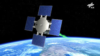
Satellite farming is a very new concept that plays a crucial role in future farming technology. Today's time Without satellite nothing can do. Also, the government makes policies on the basis of data collected by satellite. And also crop management is a very new concept and it is introduced after satellites come into the agriculture sector.
1) Precision agriculture (PA)
2) site-specific crop management (SSCM)
 |
| Satellite Farming Is Next-Gen Technology Of Farming |
How do farmers use satellites?
Farmers Don't directly use the satellite. Many government bodies are run by the government. Which collect the different types of data from satellites. Then give instruction to the local farmers and the local farmers head. To grow which crops to get more and more benefit in a specific year. These initiatives help to the earning of farmers and also the growth of the country's GDP.
It also helps in aquaculture to detect the number of fish in a specific area. To get the highest number of fish from the sea. And earnings of a fisherman is increase. This is why we Call this satellite farming in aquaculture. It helps the growth of the GDP of the country.
How satellite images can be used in the agricultural sector?
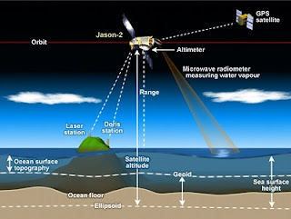
Satellites take images of specific areas using different types of advanced sensors. It is Also known as a farm satellite imagery System. Data was collect by the satellite dish farm(antennas).
 |
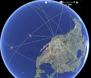
| Satellite Mapping The Farming land And Water Area |
When did farmers start using satellites?
Government has to make infrastructure to educate The people so they come into the field of research on satellite farming. Government should open the farm satellite school which only deals with the farming sections through satellite. that the farm school satellite campus only helps the farming section which also helps to double the income of the farmer. farm school satellite is a new concept. That section only deals with farm satellite imagery maps. Satellite Applications in Farming and Agriculture management is a very new concept.
How satellite images are used in farming?
Researchers collect the data through the satellite. And process with different types of software. Then give the data to the government bodies.
Next blog we discuss robotics farming so please check the next blog
Thanks
ConversionConversion EmoticonEmoticon